What Ground-Level Photos Can’t Show: Seeing the Complete Picture From Above
Ground-level photos can show every detail and still miss the complete story. See how the right aerial perspective reveals what the ground can’t—in just 29 seconds.

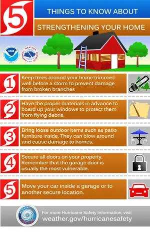
Before a hurricane season arrives, conducting structural checks on your home is crucial for minimizing potential damage. This involves reinforcing the roof, ensuring adequate drainage, and protecting windows and doors. Additionally, assessing the foundation, addressing any issues with seawalls, and preparing the interior by securing belongings are important steps.
As hurricane season approaches, the importance of preparing your home and property cannot be overstated. A powerful storm can wreak havoc on structures if they aren’t properly fortified. That’s why knowing how to prepare for hurricane season with overhead drone inspections is crucial for safeguarding your space. Whether you live in a coastal area or further inland, understanding the potential impacts of hurricanes on buildings helps you take proactive steps.
Hurricane season can bring devastating winds and flooding. Homes, businesses, and communities are at risk without proper preparation. Understanding this urgency is essential for minimizing damage and ensuring safety. Preparation goes beyond packing an emergency kit or stocking up on supplies. It involves thorough inspections of your property’s structural integrity. By addressing vulnerabilities ahead of time, you not only protect your investment but also safeguard the lives of those inside. A proactive approach can make all the difference when a storm approaches.
Hurricanes exert immense forces on buildings, often leading to catastrophic damage. High winds can uproot trees, hurl debris, and compromise roofs. Structures not designed to withstand these conditions face significant risks. Flooding is another critical factor during hurricanes. Water can infiltrate foundations and weaken structural integrity. Even homes that appear unscathed may suffer hidden damage from moisture exposure. Understanding these impacts is vital for homeowners aiming to protect their properties before hurricane season arrives.

Ground-level photos can show every detail and still miss the complete story. See how the right aerial perspective reveals what the ground can’t—in just 29 seconds.

Discover how professional drone video helps municipalities, contractors, and developers showcase projects, document construction progress, and create marketing content that lasts long after the project is complete.
WHAT IS AN ORTHOMOSAIC MAP? A GUIDE TO DRONE MAPPING When most people think of drone imagery, they picture beautiful aerial photographs. While those images
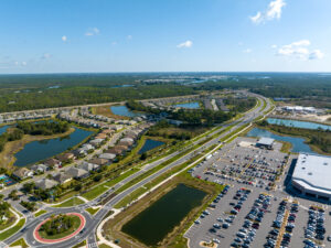
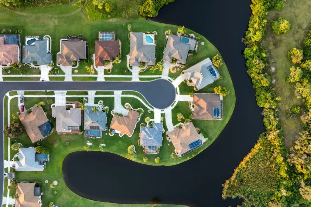
Owning or managing a property means understanding the entire site—not just what can be seen from the ground. Aerial imagery provides a clear view of layouts, access roads, drainage features, and surrounding conditions.

Spring is peak real estate season in Southwest Florida. Professional listing photos help your property stand out, attract more buyers, and drive faster showings in a competitive market.
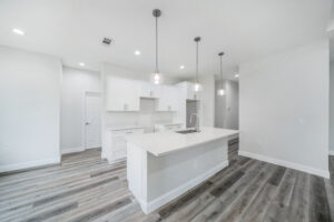
Spring is peak real estate season in Southwest Florida. Professional listing photos help your property stand out, attract more buyers, and drive faster showings in a competitive market.
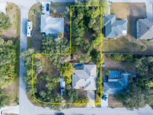
Why Aerial Drone Photography Helps Sell Southwest Florida Real Estate Faster In Southwest Florida’s competitive real estate market, listings need to stand out immediately. Professional

What the DJI Drone Restrictions Mean for Florida Property Owners and Businesses Over the past year, there has been increasing discussion around proposed and enacted
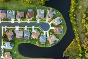
Before the Storm Hits: A Guide to Structural Checks Ahead of Hurricane Season Before a hurricane season arrives, conducting structural checks on your home is